
Photo by Allison Hall
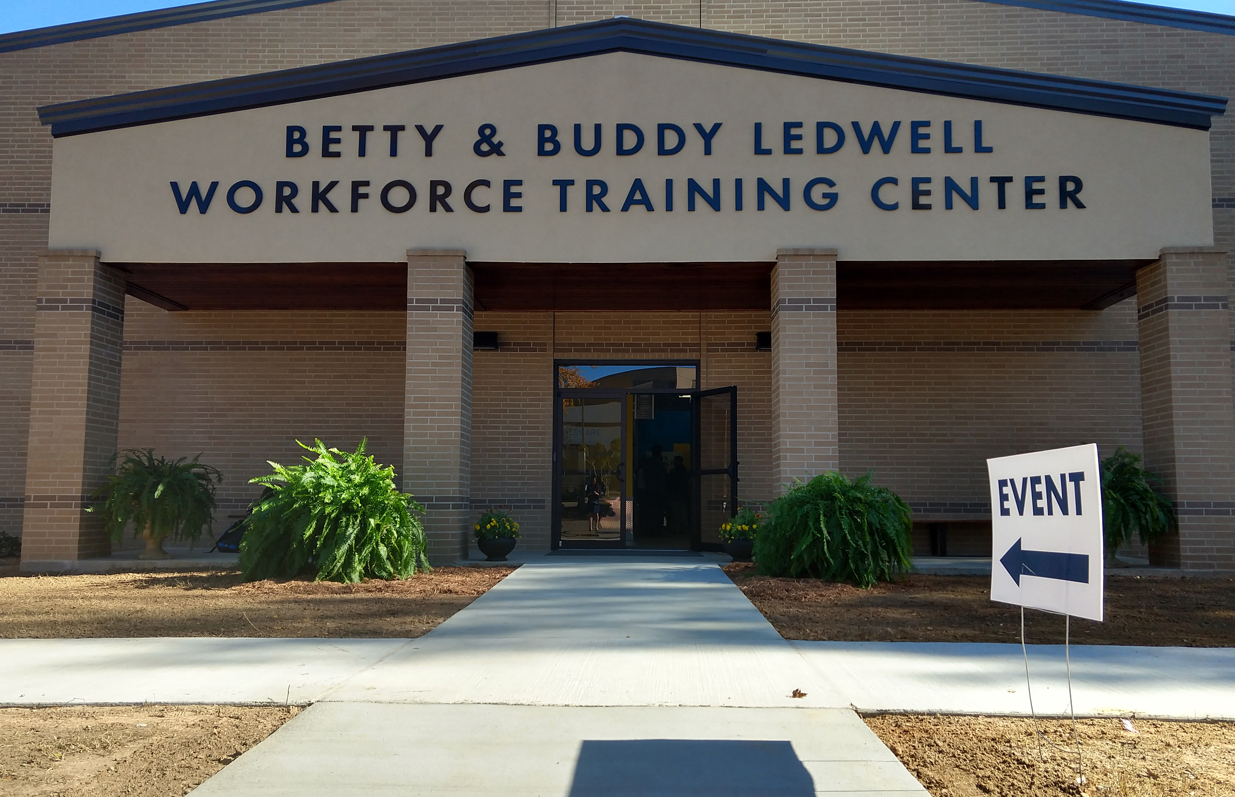
Looking for a way to start your career in the industrial workforce? You’re in the right place! On November 27, 2018, Texarkana College (TC) took a large step toward engaging the community in the workforce world of Texarkana. The local community college, using mostly in-house production, built a new industrial workforce building designed to nurture the future careers of high school students, and prospecting and employed industrial workers.

Photo by Allison Hall
They opened the building Tuesday at around noon under the title ‘Betty & Buddy Ledwell Workforce Training Center’ and TC has equipped the facility with loads of technical supplies to help train people who are looking for this type of career. A large portion of the community showed up to witness the unveiling and to show their support.

Photo by Allison Hall
This center is hoping to jump on the expected economic growth here in Texarkana. A growing workforce means a growing rate of employment and Texarkana College is predicting to certify more students in this type of program over the next few semesters than ever before. Maybe it’s’ for this reason that the center decided to use local stories to design the building that and Ledwell’s massive record for employment in this town. They have coated atrium entrance in the story of Mr. Buddy Ledwell, a local manufacturer, and the blueprints he created as a young man studying. They want to establish a good sense of work ethic in anyone who enters the doors and have their students leaving having a rich array of skills in their field.

Photo by Allison Hall
According to the above linked TC article, the program currently has more than 670 workforce students: near 100 of them being enrolled in Industrial Maintenance or Construction Technology. They are expecting growth in program participation, especially with the mention of classes being held during the day and evenings to provide a nice window for any situation, whether that person be employed or not.
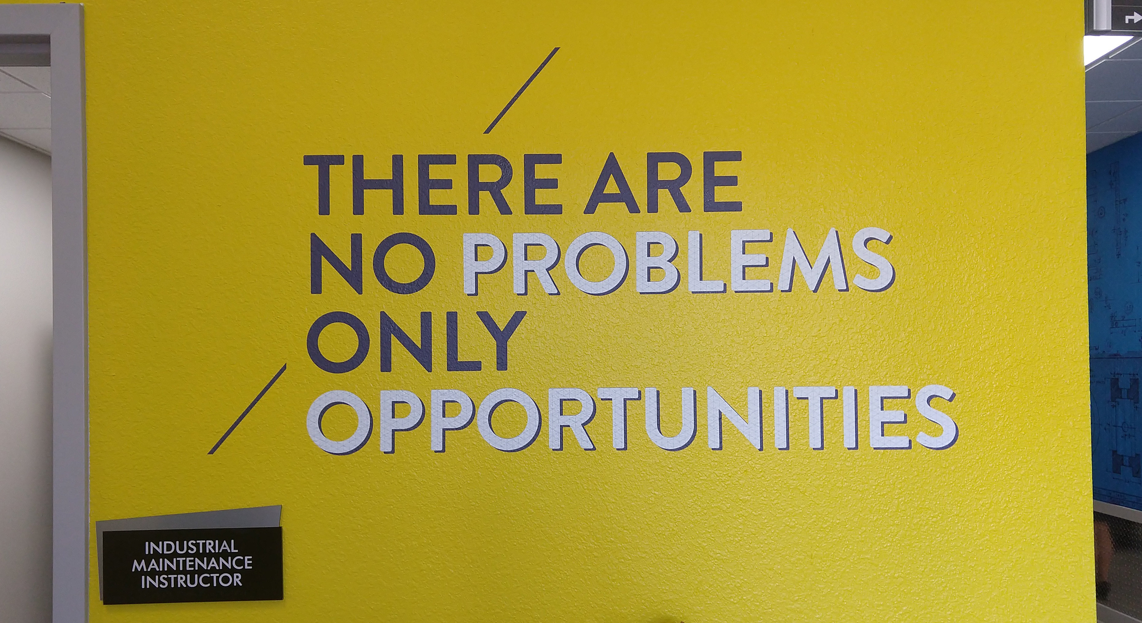
Photo by Allison Hall
The goal is to promote enthusiasm and prosperity for this type of skill. An already certified welder, for example, might be more likely to gain a job than one who needs training. Our very own Dr. Cutrer is even working diligently to help these students prosper along their academic careers. Texas A&M – Texarkana and Texarkana College are working together to ensure that students who are attaining their two-year degree at TC, and wanting to further their education, can have a smooth transition to a four-year university, like TAMU-T.
Enrollment for spring of 2019 is currently open for Texarkana College and Texas A&M – University. To learn more about these course and programs, visit or call Enrollment Services at TC to set up an appointment. You can also visit the TC website, www.texarkanacollege.edu, to discover more opportunities.


